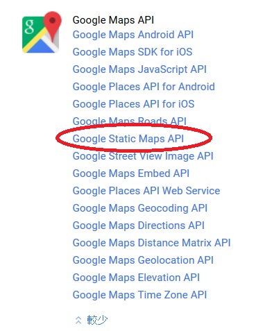
https://maps.googleapis.com/maps/api/staticmap?center=25.052019,121.513987&zoom=15&size=320×240&language=zh-TW&maptype=roadmap&markers=color:red|label:A|25.052019,121.513987&key=[your api key]
其中 center 為地圖中心點, zoom 為放大層級, 以台北市為例, 15級或16級都OK, 看應用的狀況, size 為產出的圖片尺寸, 而 language 為地圖的語系, maptype 為地圖的格式, roadmap 為街道地圖(另有 satellite, terrain, hybrid), markers 為要標註的位置, 其中 color 為顏色, 用 | (pipe符號)區隔 marker 的參數, label 為單英數字標籤, 最後則是位置, 再來是最重要的 key 就是要輸入你的 api key, 效果如下:
程式碼如下:
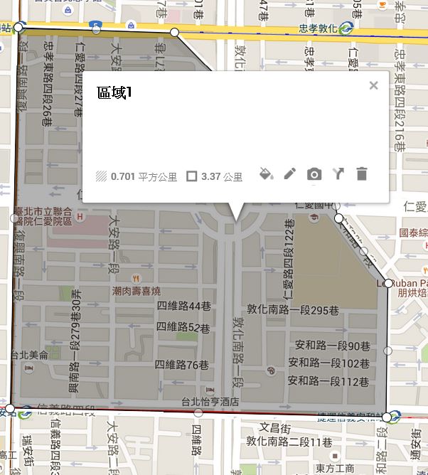
https://maps.googleapis.com/maps/api/staticmap?center=25.037789,121.547375&zoom=15&size=360×360&language=zh-TW&maptype=roadmap&path=color:0xFF0000|fillcolor:0xFF000033|25.0416515,121.5437222|25.0333111,121.543529|25.033116700000004,121.5526271|25.036052399999996,121.55267000000002|25.0374716,121.55146840000002|25.038016,121.5513396|25.0415348,121.5474987|25.0416515,121.5437222&key=[your api key]
// check if position in polygon
if(google.maps.geometry.poly.containsLocation(results[0].geometry.location, testArea)){
    alert("在指定區域內");
}else{
    alert("不在指定區域內");
}